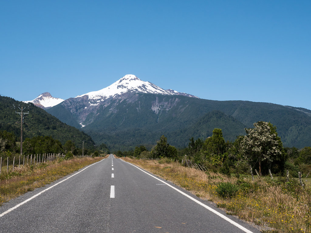
Volcanoes & Lakes - Chile's Lake District
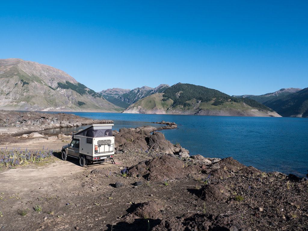
After a few days of rain, something we are not accustomed to, we hit Chile's Lake District. This region was of more interest to us again thanks to its picturesque volcanoes set along lakes and rivers. Hiking also became rewarding as soon as we were able to leave the dense forests of the lower regions behind.
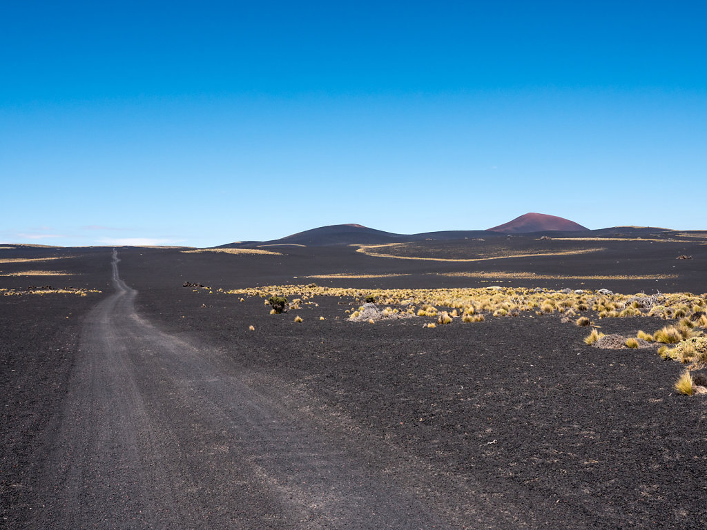
The lakes are located at altitudes between 50 and 250 meters and the volcano tops barely reach 3000 meters. Thus, by now we are pretty much done with the famous Andean high altitudes.
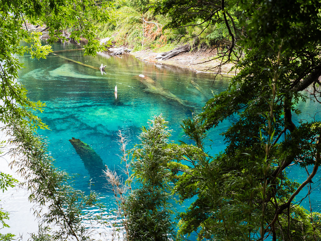
Parque Nacional Huerquehue
Camping Olga is located at the end of the tiny Lago Tinquilco. The hike up to Lago Chico and Lago Verde was rather steep and went through a dense forest, whose highlight were vistas of the lake below and Volcán Villarrica in the background.
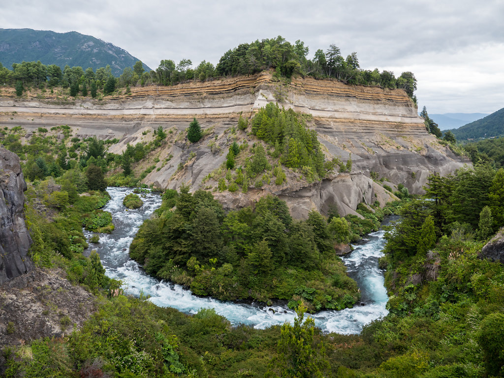
Parque Nacional Villarrica
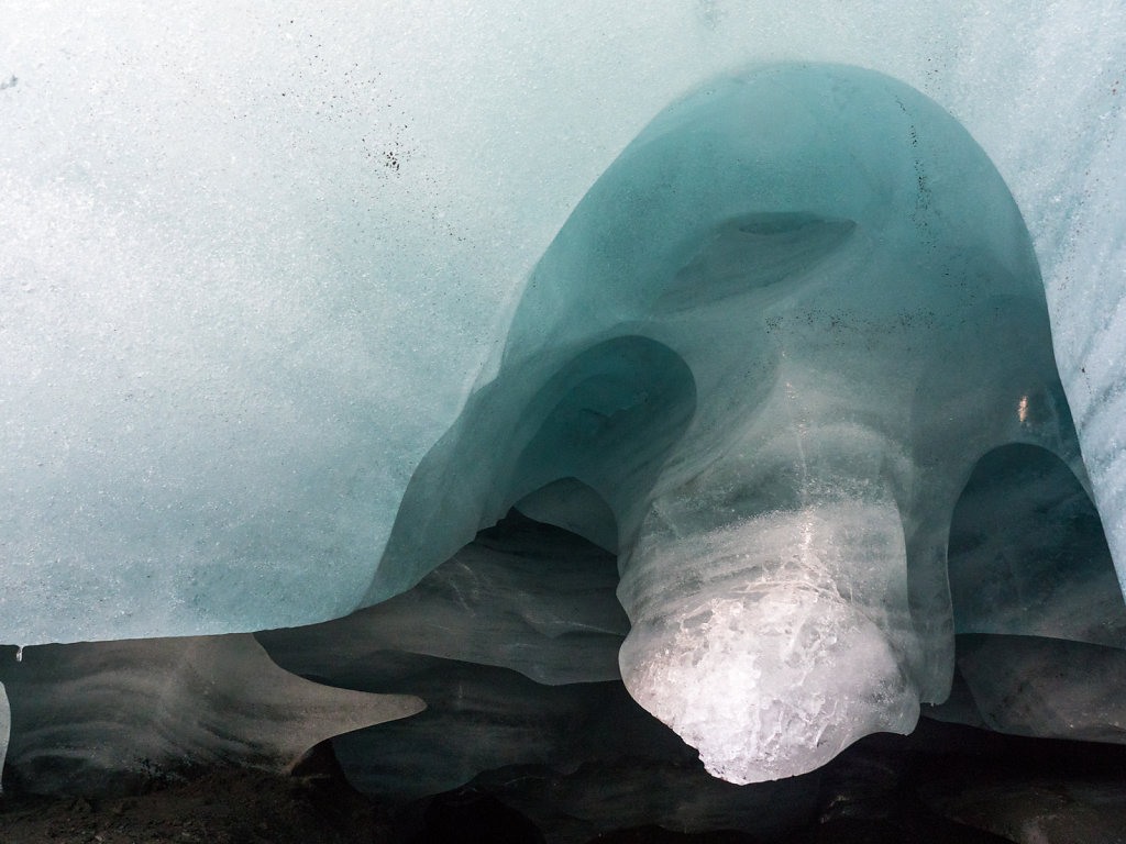
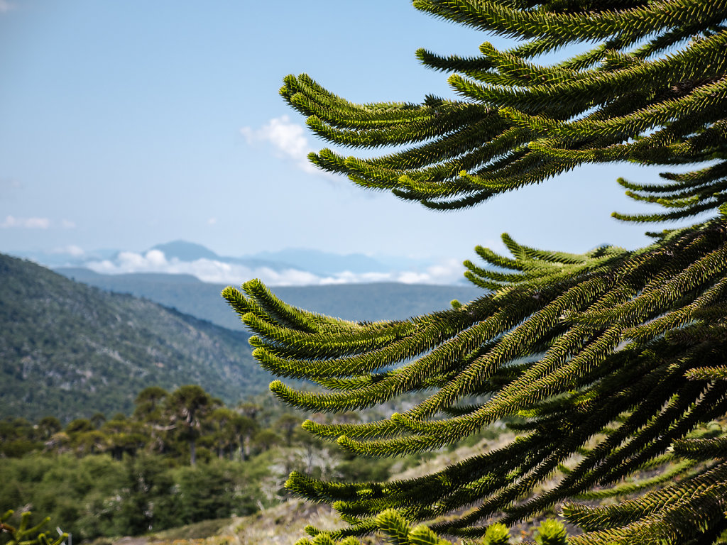
A very nice hike leads up to Glaciar Pichillancahue at the foot of Volcán Villarrica. Some beautiful Araucaria trees line the path, very typical for this region of Chile.
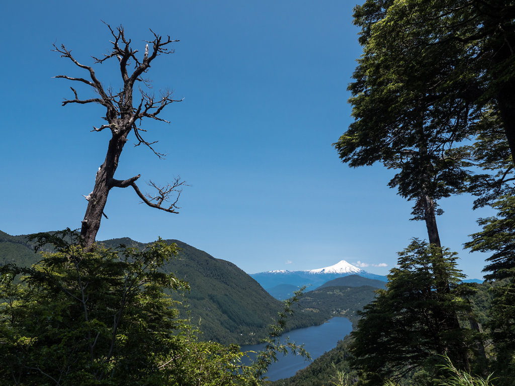
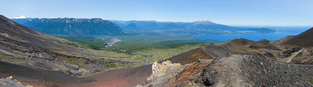
Lago Llanquihue
Volcán Osorno towers above Chile's second-largest lake, Lago Llanquihue, on its eastern shore.
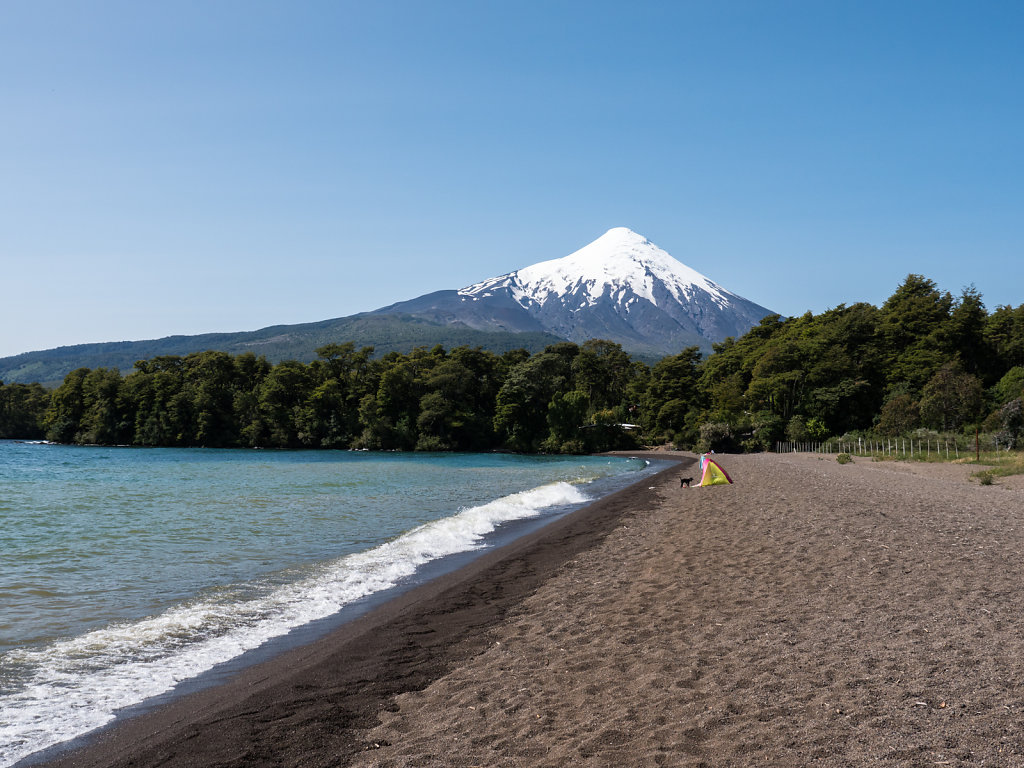
We spent a couple of nights in the tranquil village of Llanquihue in the west before heading to Ensenada at the foot of the volcano.
A road leads up to about 1200m altitude offering great views of the lake, the volcano and the mountains.
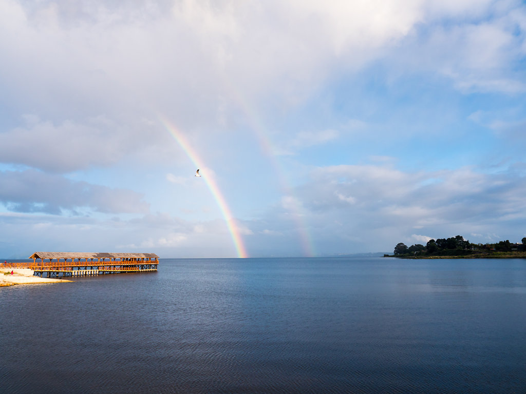
Cochamó
The final stretch led us to Cochamó and along the Estero Reloncavi, which is actually an arm of the sea.