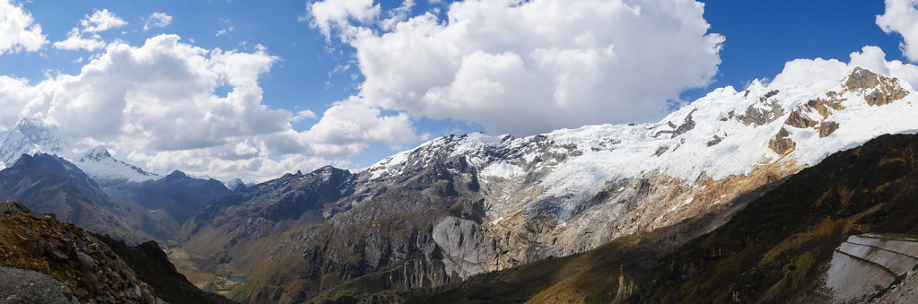
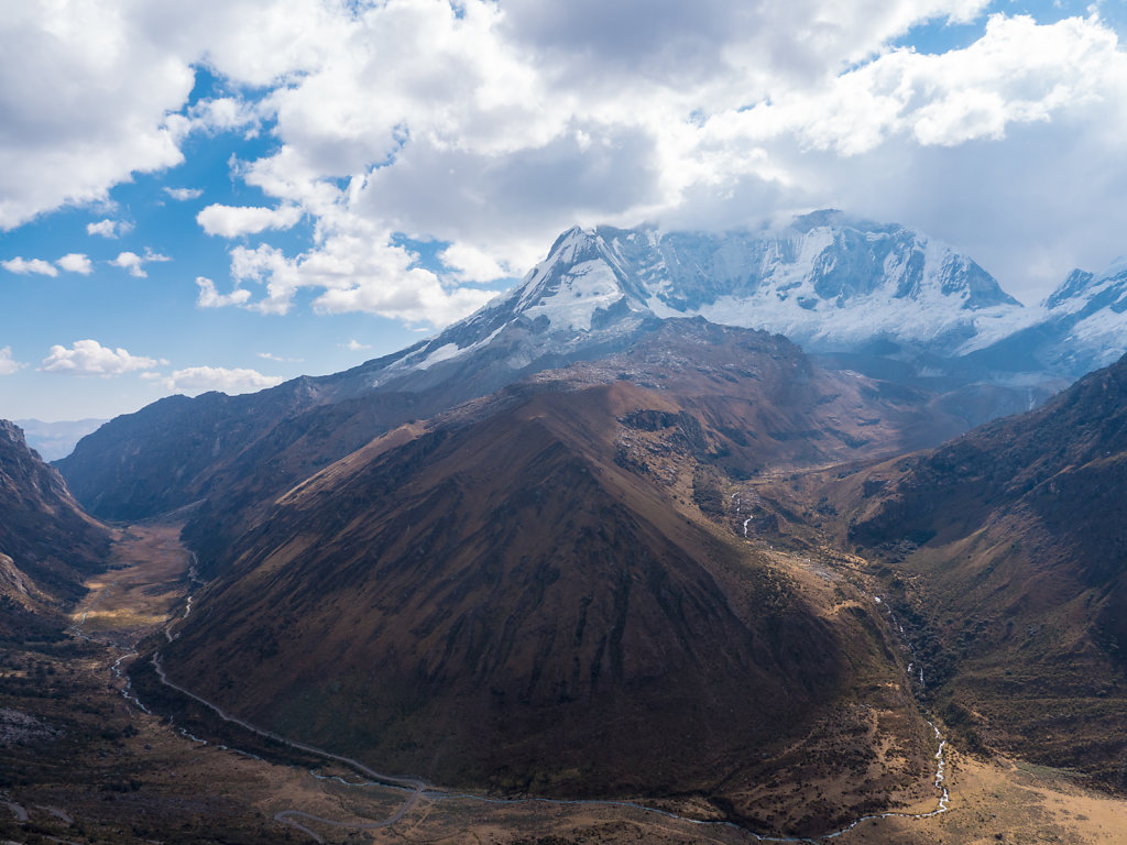
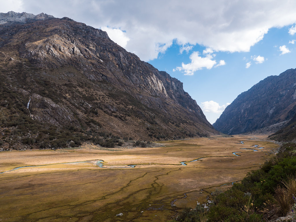
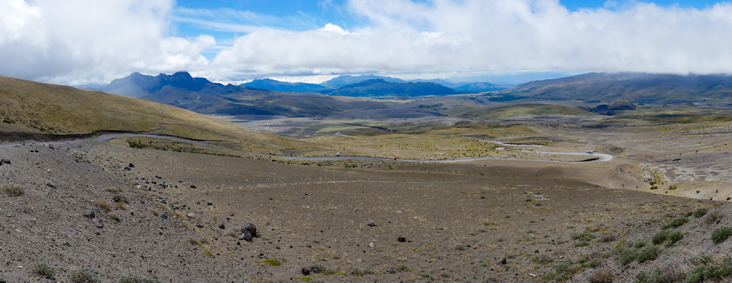
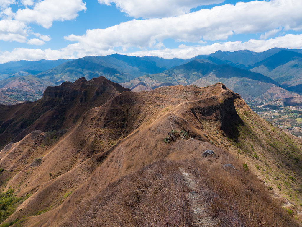
Atacama - Northern Chile
We only made a short stop in Chile coming from Bolivia before crossing into Argentina.
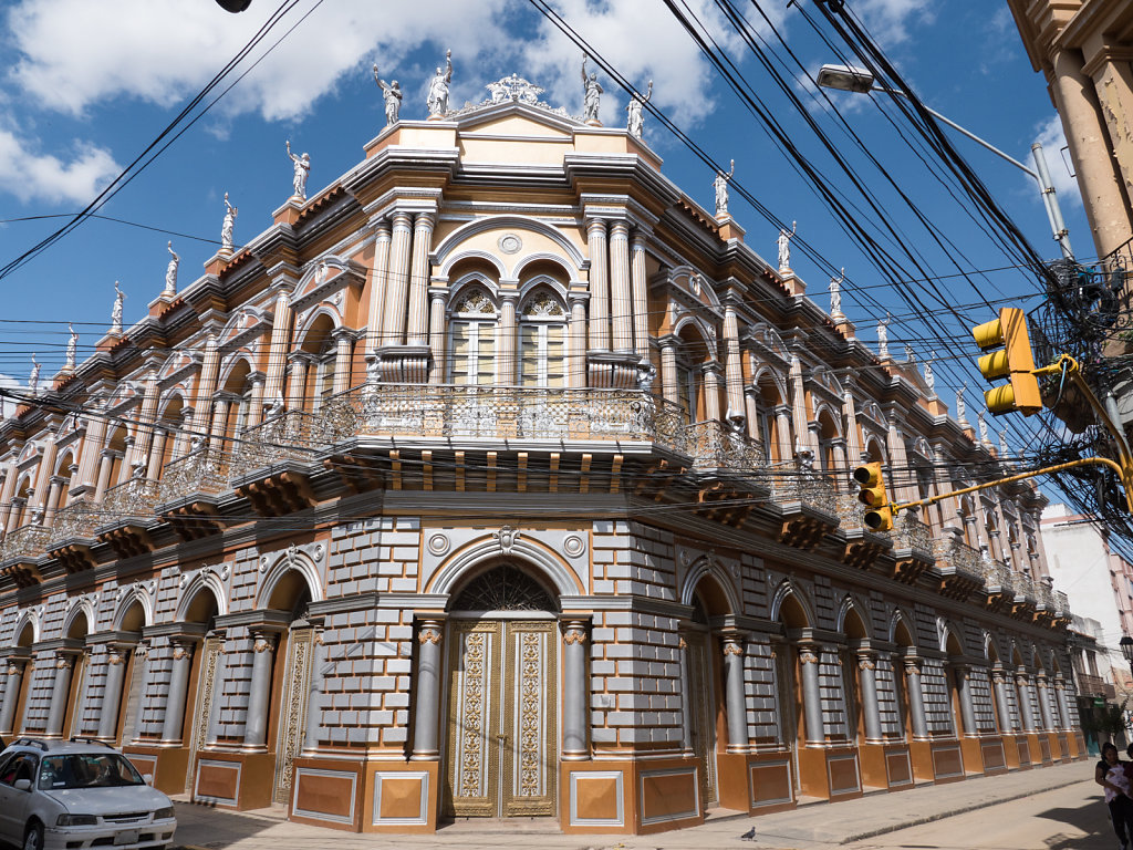
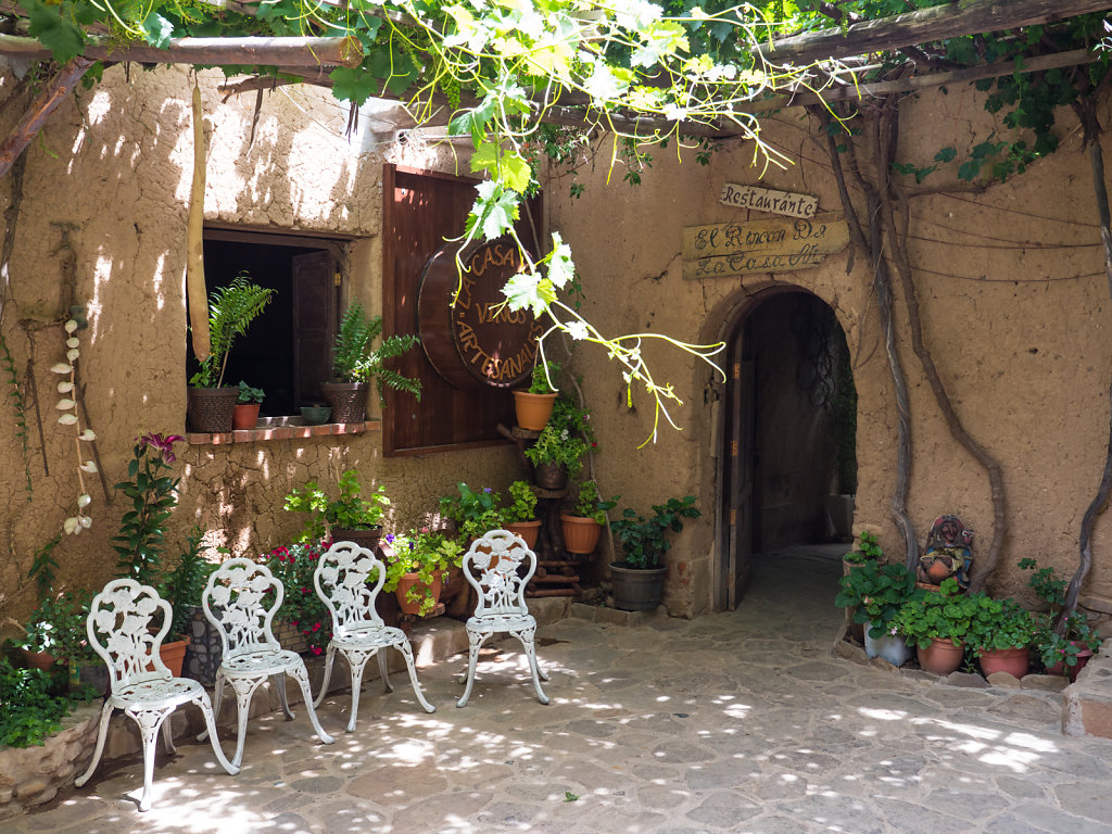
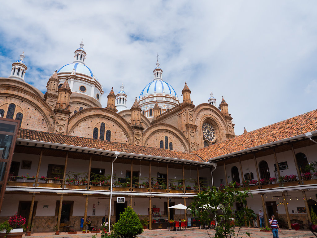
San Pedro de Atacama
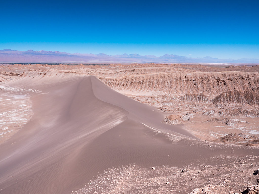
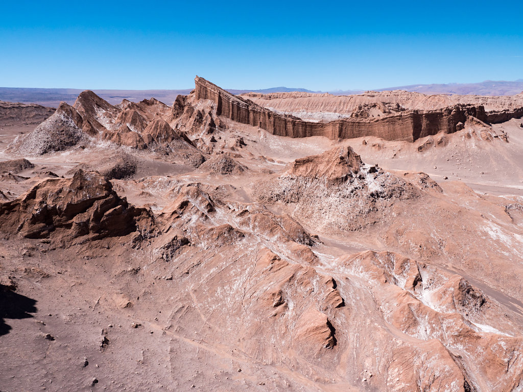
San Pedro de Atacama solely exists for and from tourism. Although it is a little town with nice buildings, it is anything but authentic. We relaxed a few days here and visited the Valle de la Luna before moving on.
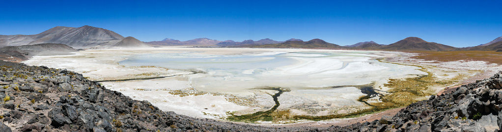
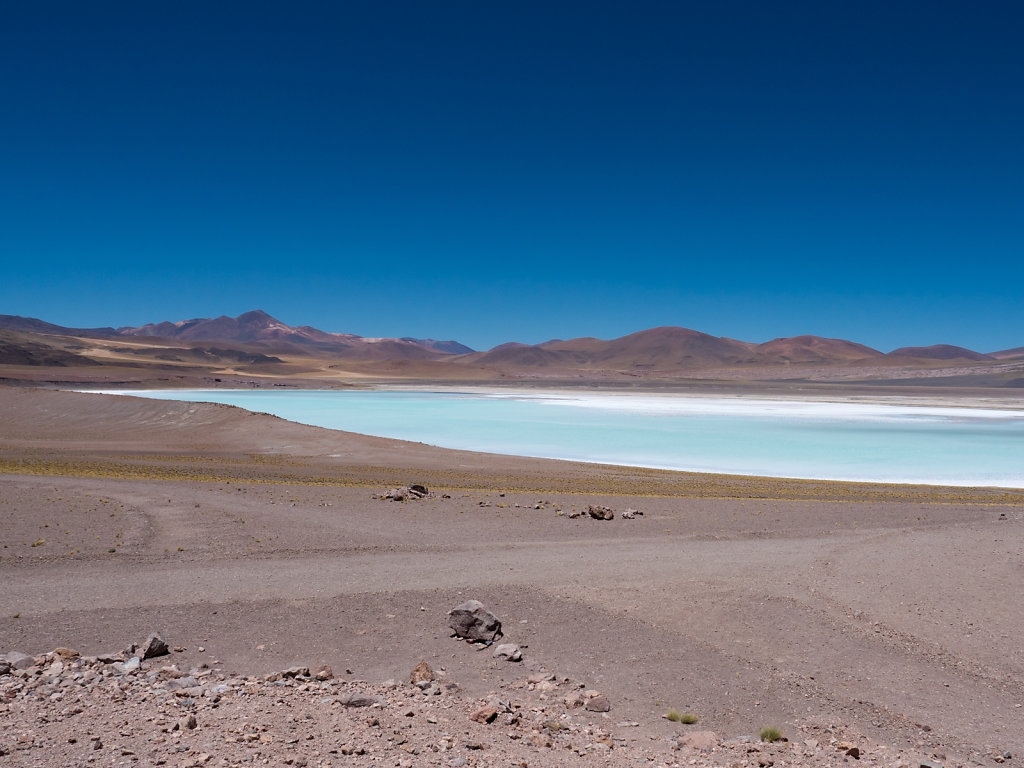
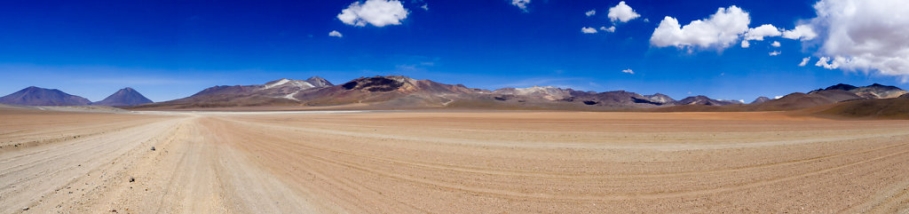
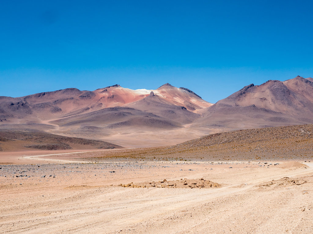
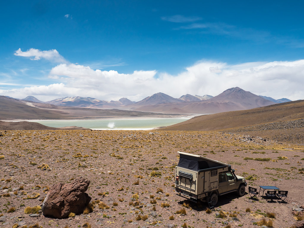
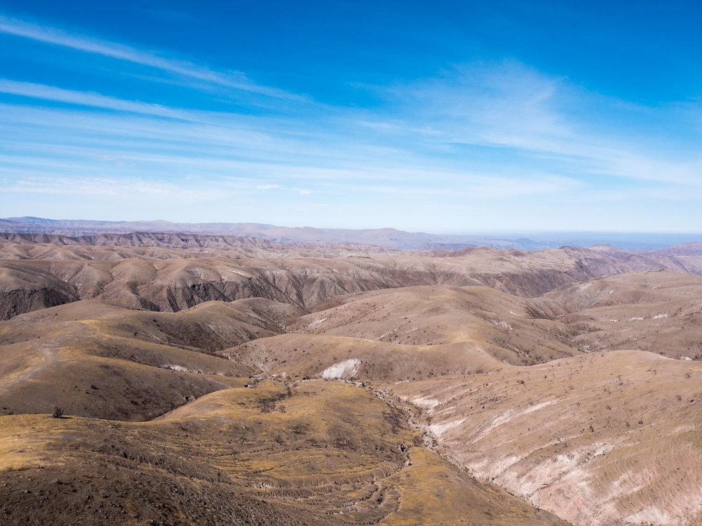
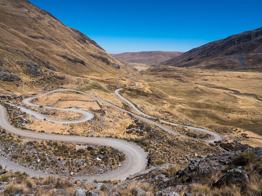
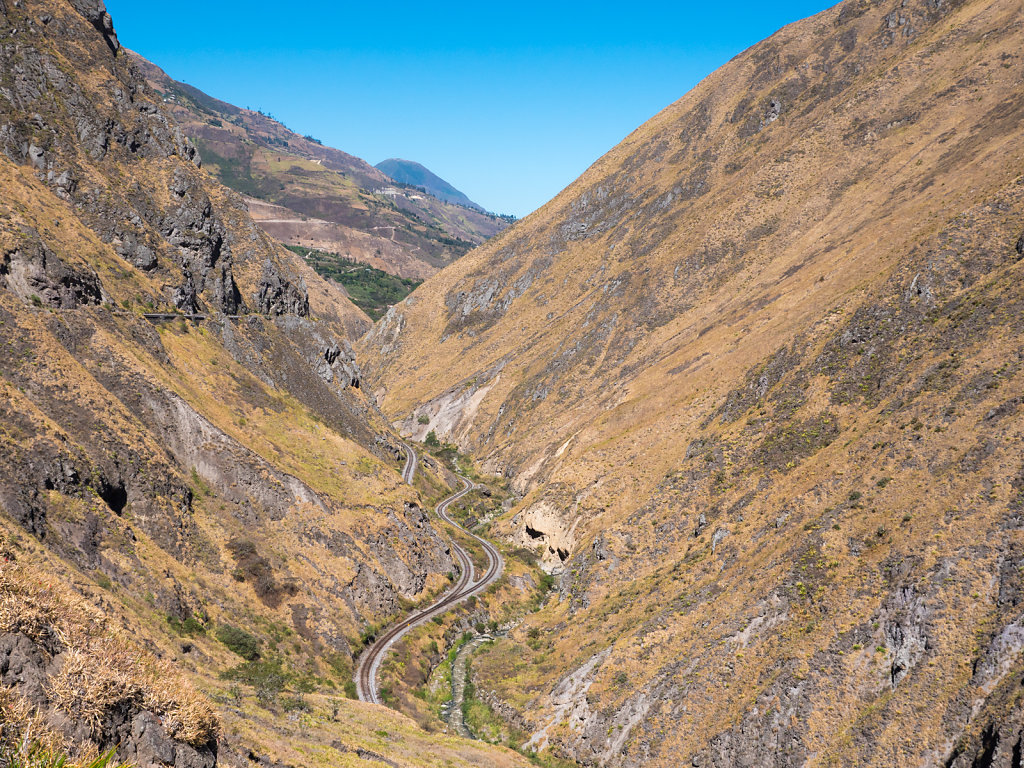
Paso Sico
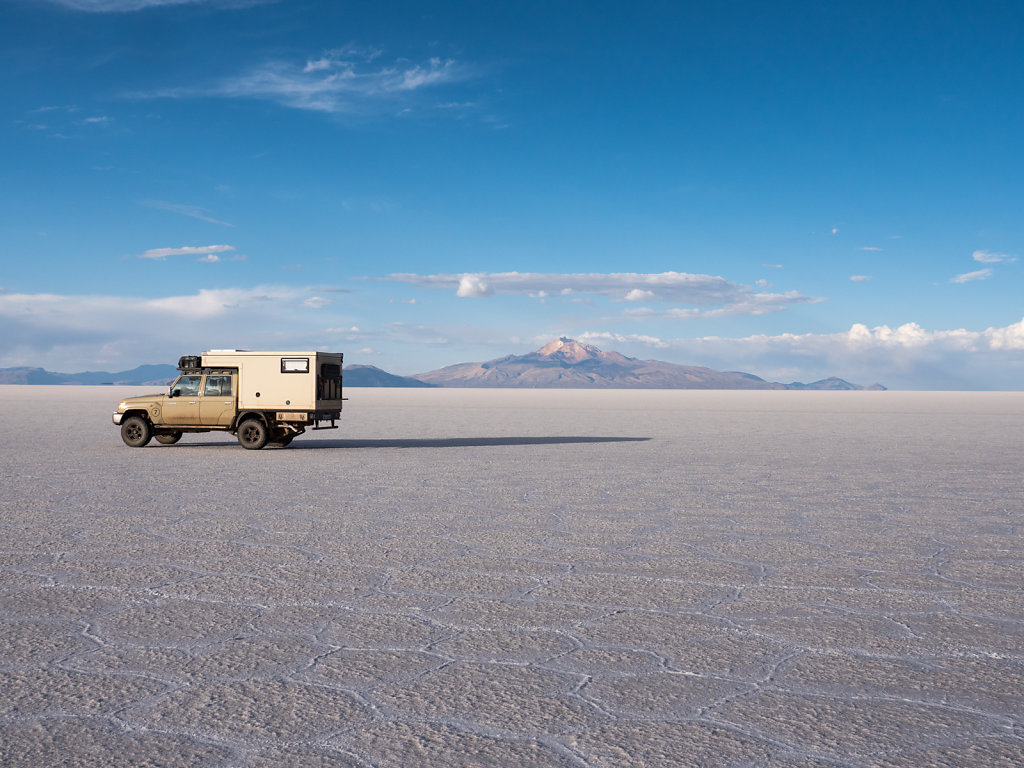
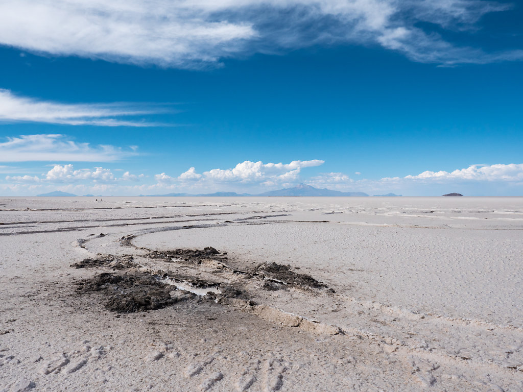
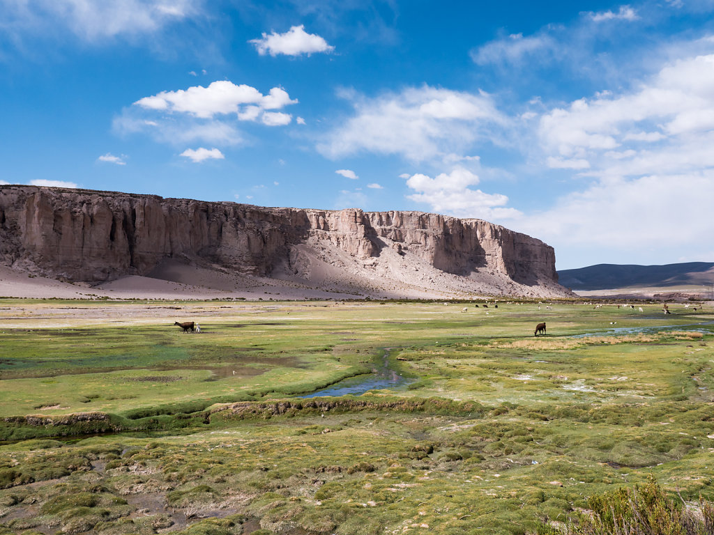
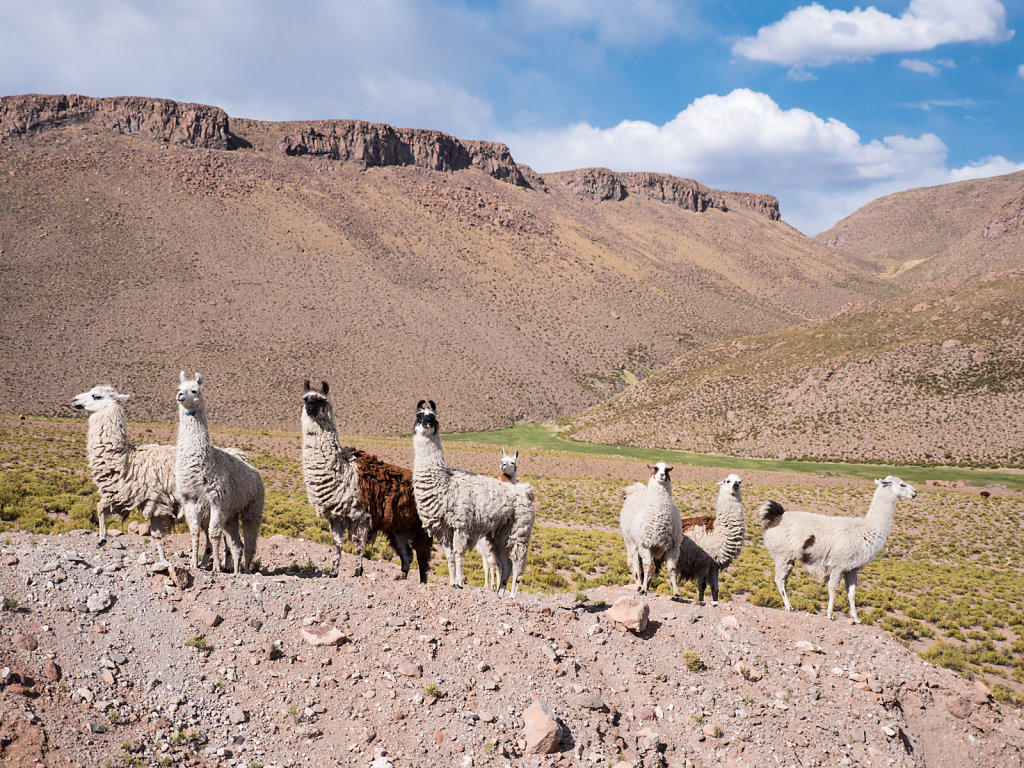
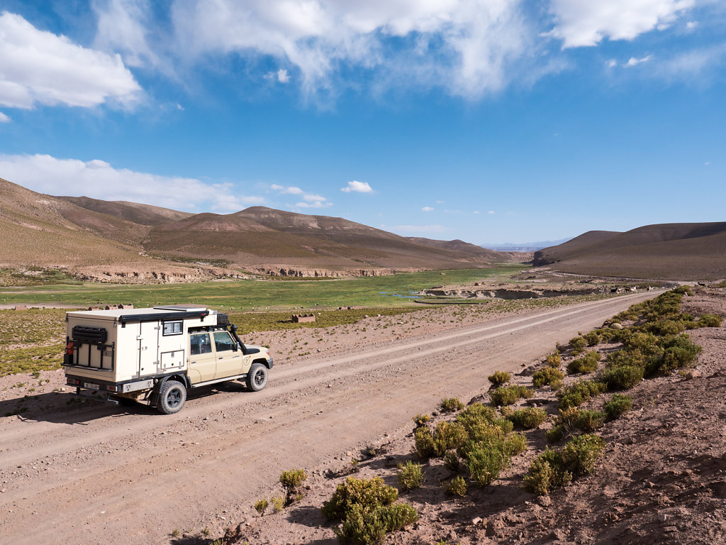
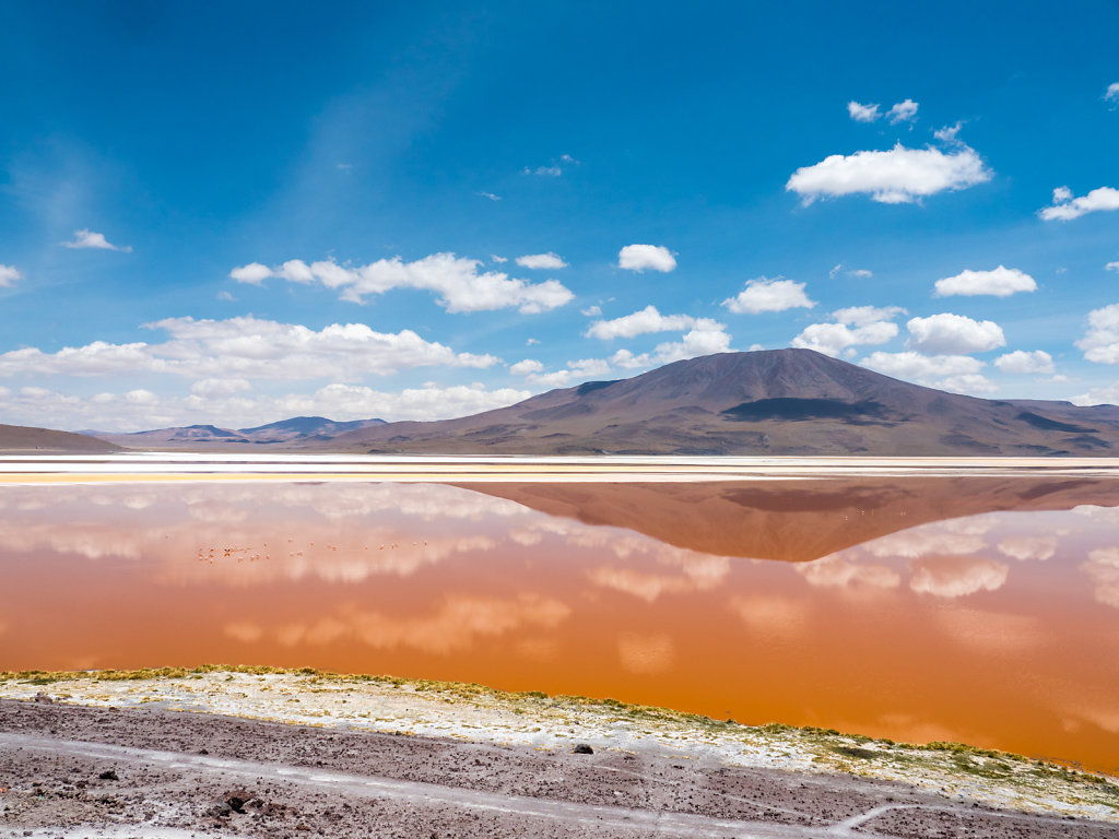
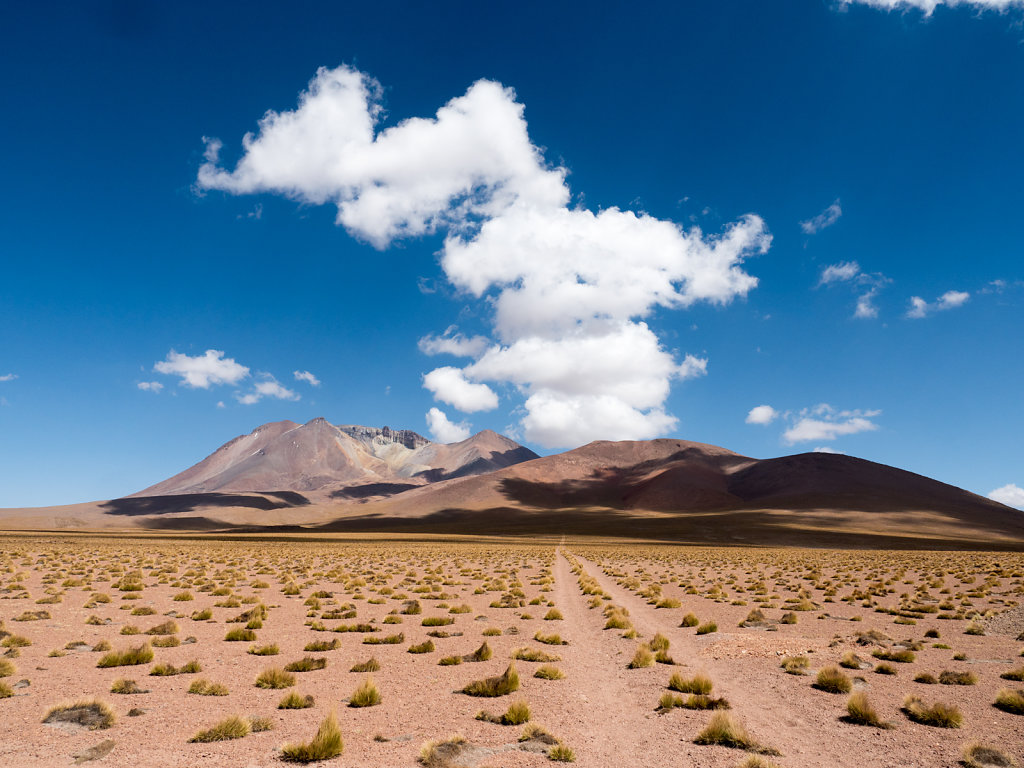
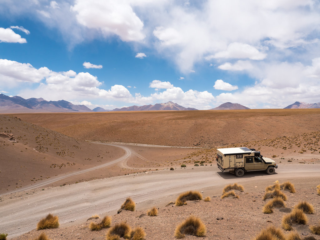
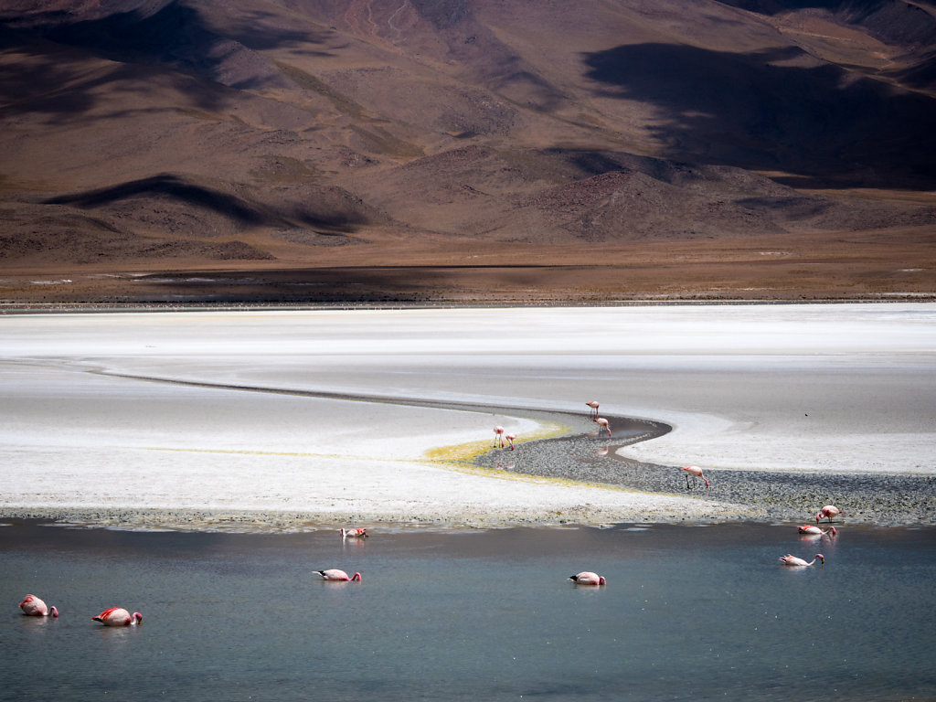
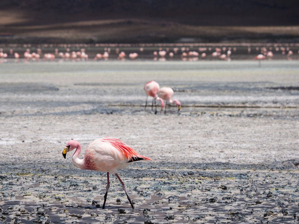
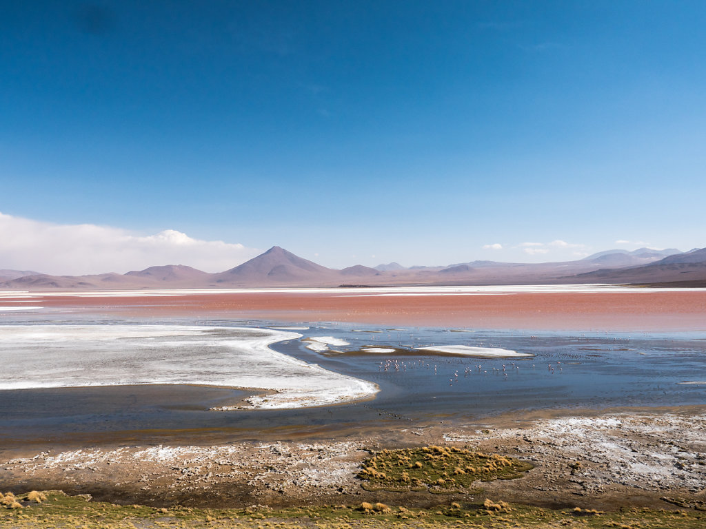
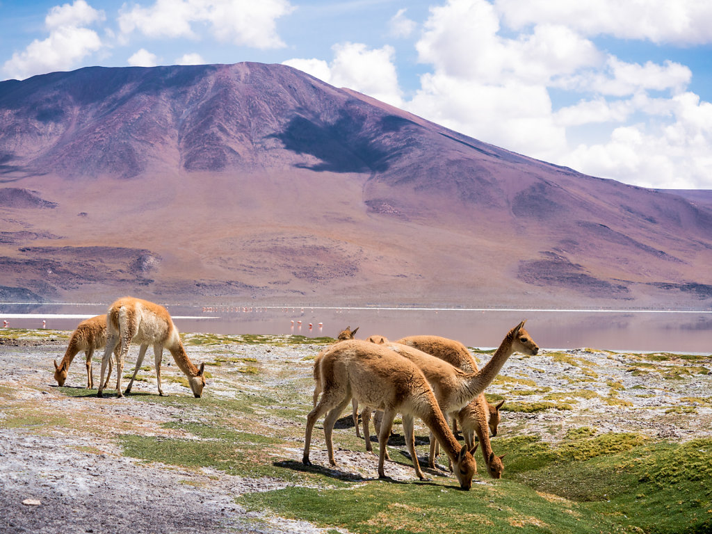
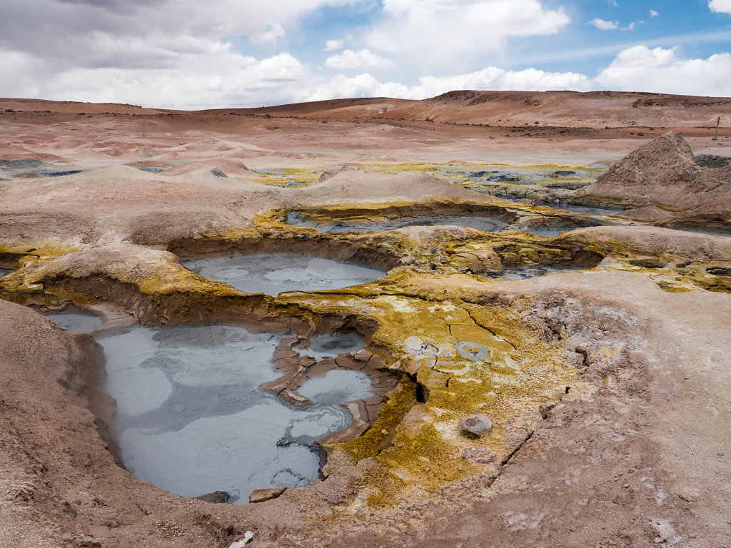
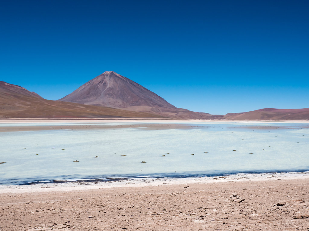
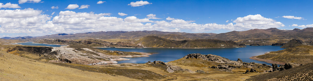
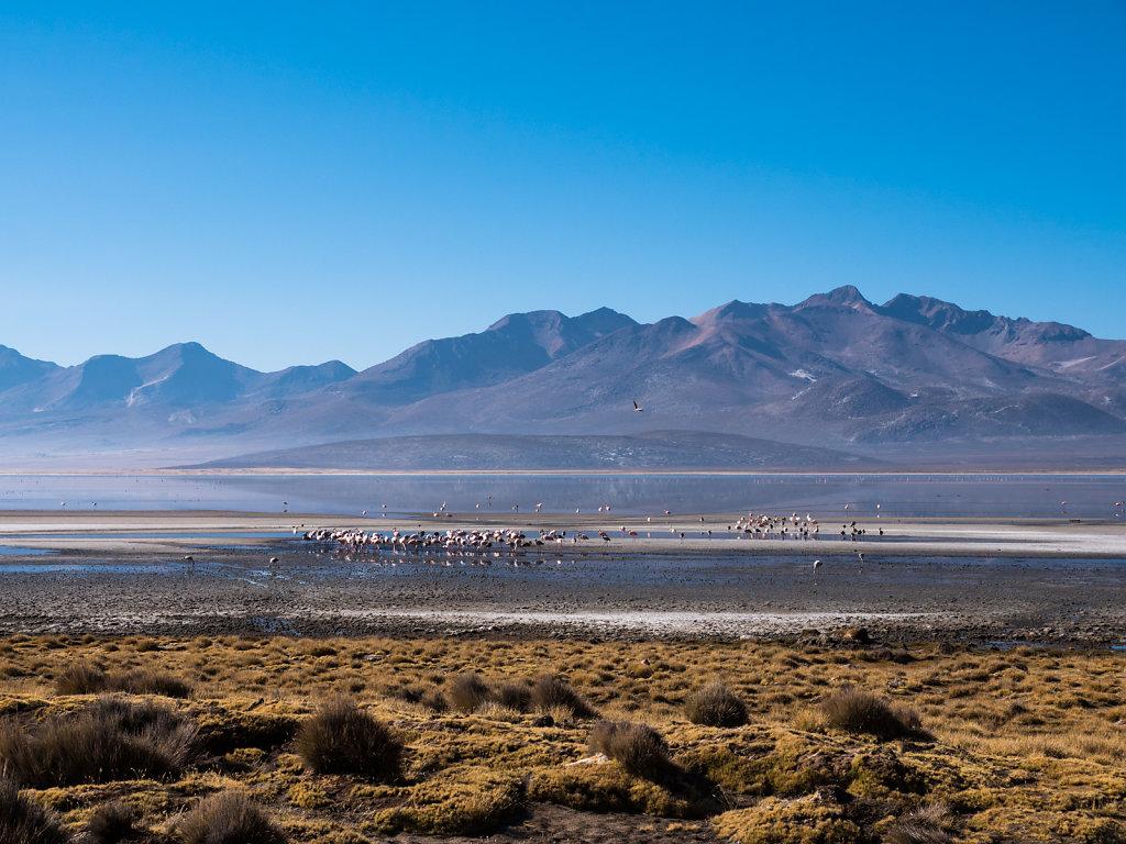
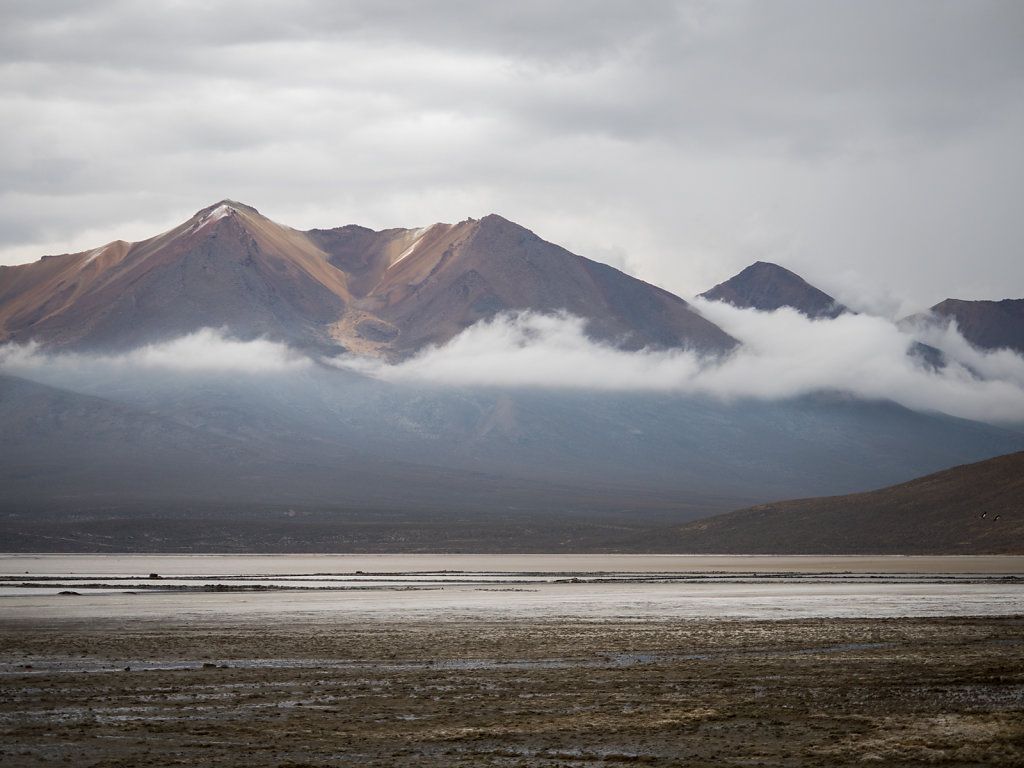
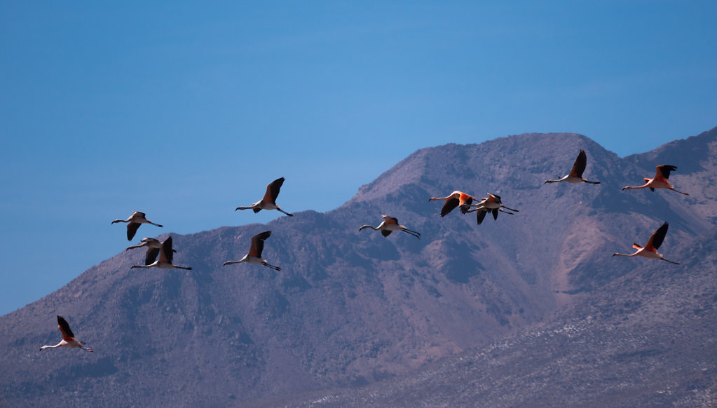
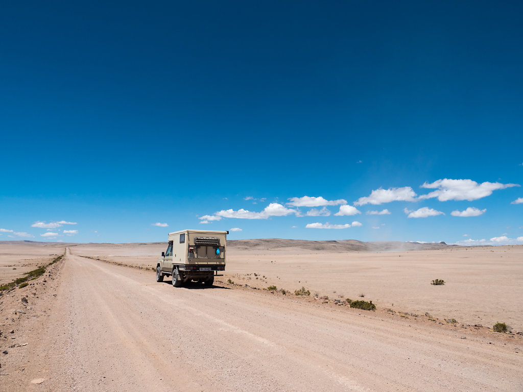
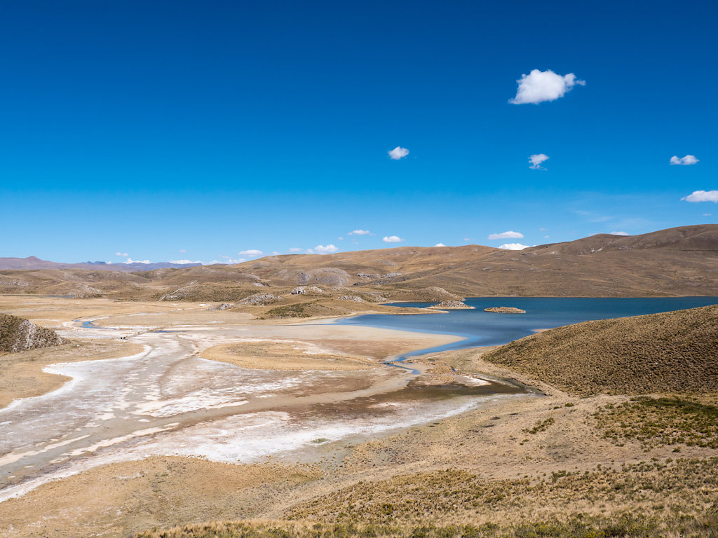
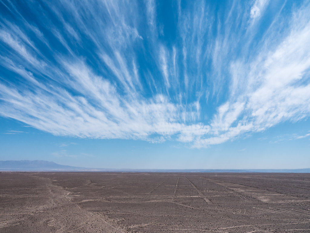
The Paso Sico is unpaved on the Argentinian side and therefore used less frequently than the neighboring Paso de Jama. Along the road are some very nice lagunas. It gets less touristic the further up you go.